
Jackson County ZIP Directory Geography
The 2020 Census ZCTA-to-county relationship file identifies 18 ZCTAs with land in Jackson County. A ZCTA is a Census approximation of ZIP geography, not a USPS delivery boundary. The table therefore identifies County-intersecting postal geography, not 18 areas wholly inside the County. Use the postal service to confirm a particular mailing address and use County parcel tools to determine the physical site.
| ZIP | Areas Covered | Post Office | Notes |
|---|---|---|---|
| 97497 | Wolf Creek boundary area | USPS Wolf Creek verification | Intersects Jackson County but is strongly associated with neighboring Josephine-area geography. |
| 97501 | Medford west and central postal area | USPS Medford verification | Postal label does not equal the full City of Medford boundary. |
| 97502 | Central Point and Medford-area delivery geography | USPS Central Point verification | Can cross city delivery geography; check the site in JIM. |
| 97503 | White City and northeast Medford-area | USPS address verification | Unincorporated and community context needs parcel confirmation. |
| 97504 | Medford | USPS address verification | Separate Medford postal division, not an Assessor boundary. |
| 97520 | Ashland and nearby communities | USPS Ashland verification | Use the exact street address for a delivery result. |
| 97522 | Butte Falls | USPS address verification | Rural and small-community delivery geography. |
| 97524 | Eagle Point and Lake Creek area | USPS address verification | Community territory extends beyond a simple city polygon. |
| 97525 | Gold Hill | USPS address verification | Rogue Valley delivery geography can cross municipal edges. |
| 97526 | Grants Pass boundary area | USPS address verification | Census ZCTA has 2,831,399 square metres of land in Jackson County. |
| 97527 | Grants Pass boundary area | USPS address verification | Census ZCTA has 74,722,560 square metres of County land. |
| 97530 | Jacksonville and Ruch area | USPS address verification | Ruch commonly uses Jacksonville postal geography. |
| 97535 | Phoenix | USPS Phoenix verification | Postal and parcel jurisdiction remain separate questions. |
| 97536 | Prospect | USPS address verification | Rural eastern County geography. |
| 97537 | Rogue River | USPS Rogue River verification | County-edge postal geography needs address-level confirmation. |
| 97539 | Shady Cove | USPS address verification | Community context does not mean incorporated municipality. |
| 97540 | Talent | USPS Talent verification | Postal and city limits must be treated separately. |
| 97541 | Trail | USPS Trail verification | Rural eastern County delivery geography. |
The Census relationship source is the reason that 97497, 97526, and 97527 appear here. It confirms a land intersection, not a USPS delivery promise. No verified County source supplied a PO-box-only or unique ZIP for this list, so none is inferred.
The Census relationship file provides the ZCTA-to-County land-intersection evidence for this postal geography.
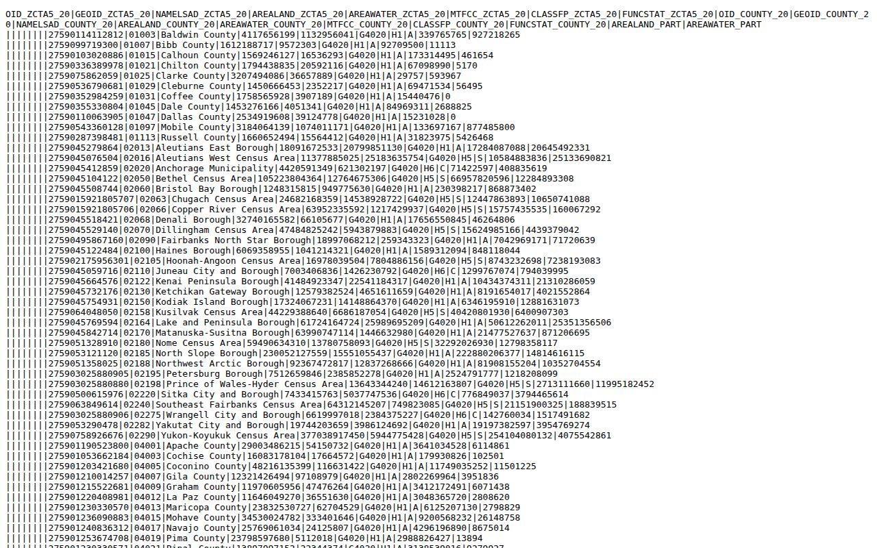
The relationship file supports the County intersection question. It does not replace USPS delivery verification for a house, business, or post-office box.
Verify a Jackson County ZIP With USPS
The USPS ZIP Code Lookup is the delivery authority for an individual address. It offers an address route, a City and State route, and a Cities by ZIP Code route. The postal service cautions that a result does not establish the actual location of a person or business. It does, however, standardize the postal address before a property search begins.
- Enter the street address, then add an apartment or suite where relevant. The address mode requires street, city, state, and ZIP fields.
- When only the locality is known, use the City and State mode, which requires both fields.
- Use the Cities by ZIP Code mode when you need the postal city association for a known code.
- Take the confirmed street address to JIM or PDO for parcel and jurisdiction work, rather than assuming the postal result answers those questions.
A postal ZIP is useful for delivery verification. It does not prove the County, municipality, owner, or occupant connected with the address.
Jackson County ZIP Search Limits
A person cannot enter a Jackson County ZIP into the documented local property tools and receive a countywide roster. The County describes Property Data Online as a parcel and property-account tool. It documents search modes for owners, addresses, accounts, map and taxlots, subdivisions, manufactured-structure parks, sales study, and Clerk inquiry. JIM likewise works from a site address, street, account, or map and taxlot. Neither inspection documented a ZIP filter.
| County tool | Captured search modes | ZIP limitation |
|---|---|---|
| PDO | Owner; Address; Account; Map & Taxlot; Subdivision; MS Park; Sales Study; Clerk Inquiry | No documented ZIP filter or ZIP-wide result mode. |
| JIM Property | Site address; street; account; map & taxlot | No documented ZIP filter or postal boundary result mode. |
Jackson County’s PDO overview describes the parcel, tax, permit, zoning, and map data available through the property system.
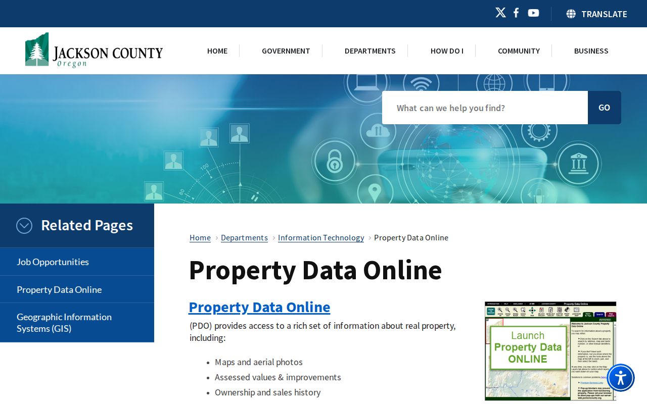
PDO can confirm property-account details after an address is known, but its documented modes do not turn a postal code into a resident or household result.
Note: Use USPS for mail delivery, then use the specific parcel address in a County tool for a property question.
Find Residents in a Jackson County ZIP
A ZIP narrows geography, not a list of people. Once an address is confirmed, PDO can return the parcel account associated with that situs. Its result may show a fee owner, contract field, map/taxlot, and tax-notice mailing information. Those fields are property-record facts. They do not identify every person at the site, and a mailing address may belong to an owner, agent, trust, business, or post-office box.
- Confirm the full address and postal ZIP with USPS.
- Search that street address, account, or map/taxlot in PDO or JIM.
- Read the returned situs, parcel, and owner or contract fields as property-account evidence, not household membership.
- If a formal voter-list question remains, contact Elections about the statutory list route and its applicable fields. My Vote is only for a voter’s own record.
After a postal area has narrowed to a specific road or number, use the Jackson County by-street directory for the address-to-parcel records path. A ZIP search cannot substitute for that property-specific work.
Jackson County ZIP Boundaries and City Limits
Postal geography and County property geography answer different questions. A situs address is the physical site used in PDO and JIM. A mailing address is the owner or agent contact used in the property-tax system. A legal description is the deed, plat, metes-and-bounds, or partition description accepted by the Clerk. A taxlot or account connects the map and assessment systems, but it is not automatically the legal description. A ZIP is a delivery geography that can cross city and County lines.
Medford has two listed postal divisions, 97501 and 97504. Central Point 97502 can include Medford-area delivery geography. Ashland 97520 and the rural community codes likewise do not draw municipal boundaries. When a ZIP and city label disagree, use USPS to check delivery, then use JIM or PDO for the parcel’s situs and County jurisdiction.
Boundary check. A Jackson County ZIP label does not prove that an address is inside a named city, that the parcel is in County jurisdiction, or that a person occupies the site. Confirm each fact with the proper source.
Jackson County ZIPs Across County Lines
The strongest local boundary examples are 97497, 97526, and 97527. The Census relation shows each has some land in Jackson County, while their postal associations point toward Wolf Creek or the Grants Pass area. The source measures 2,831,399 square metres of Jackson County land for 97526 and 74,722,560 square metres for 97527. Those figures identify a geographic intersection, not a delivery address or a county-wide share of a ZIP.
This is why a postal city label cannot settle County jurisdiction. A Jackson County taxlot may carry a mailing label associated with Medford, Grants Pass, Wolf Creek, or another community. JIM/PDO are the parcel and site authorities; Census identifies the ZCTA relationship; USPS confirms delivery.
Jackson County ZIP Terms
Postal terms are useful when they are kept separate from property terminology. The available research confirms the delivery and Census distinction, but it does not establish a County PO-box-only or unique code. Treat each term as a postal concept, then verify a parcel question through County records.
- ZIP and ZIP+4
- A ZIP identifies a postal delivery area. ZIP+4 adds a more specific delivery segment to help sort mail; neither establishes parcel jurisdiction.
- PO-box ZIP
- A code used for post-office-box delivery. The County research did not verify one as part of the 18-code intersection table.
- Unique ZIP
- A postal code associated with one institution or organization. No such Jackson County code was verified in the research.
- Carrier route
- A postal delivery grouping used to organize mail. It is not a resident roster, city boundary, or land-record boundary.
- ZCTA
- A Census approximation used for statistics and geography. It can demonstrate land intersection but is not the USPS delivery definition.
Jackson County Historic ZIP Context
Historic address work often starts before a modern postal expression existed. Medford’s early 7th Street is present Main Street, while older records can use Jacksonville, a rural delivery route, a Donation Land Claim, township and range, or a subdivision. A ZIP code directory can place a modern address in its current postal context, but it cannot translate every older address form on its own.
For a historic property, carry the legal description or map/taxlot across the record trail. County GIS Address Points also maintains Current, Pending, and Retired status with legacy street-name components. That local data is a bridge from an older street expression to a current map reference. It remains a location tool, not evidence of a present resident.