
Walk a Jackson County Street Directory
A street-level search works best as a record chain. Begin with the physical address, then keep the parcel identifiers with every result. An owner name is a property-record field, not a conclusion about every person at the address. The same care applies to historic material. A street label may be newer than the underlying parcel, so the map/taxlot and legal description are the steadier links.
- Enter the street, house number, account, or map/taxlot in Property Data Online or the County’s JIM Property viewer. Record the situs, account, map/taxlot, fee-owner or contract field, and the separate mailing field.
- Open the PDO sale or deed-card material when present. It can supply an instrument number or volume/page that moves the property record into the recorded-document trail.
- Use that reference in the Clerk’s Digital Research Room, then carry the legal description through each deed link. The grantor is the transferring party; the grantee is the receiving party.
- For voter information, do not treat My Vote as a street roster. A formal elector-list request follows Oregon’s statutory process and excludes protected information; it is separate from the self-service tool.
- For a dated household or road clue, use SOHS, JCLS, or other documented historical repositories. No verified local reverse-directory year run supports treating a criss-cross listing as a current roster.
That sequence keeps the Jackson County street directory focused on what address-keyed records actually establish: a parcel, a recorded interest, a date, and a source path. It does not merge ownership, tax contact information, and current occupancy into one claim.
Jackson County Street Record Coverage
Different county records are keyed to the same address in different ways. PDO and JIM begin with the parcel. The Clerk’s files are recorded-instrument records, while the permit viewer identifies property activity. Historic indexes add dated context. The table separates those purposes before a street-by-street search goes any further.
| Address-keyed source | Record holder | What the street search can establish | Access route |
|---|---|---|---|
| Property account | Assessor / PDO | Fee-owner and contract context, account, map/taxlot, value and zoning fields | PDO or Assessor, 541-774-6059 |
| Taxlot layer | County GIS / Assessor | Parcel boundaries, site-address context, published owner-mailing fields and surrounding parcels | JIM or the GIS service |
| Recorded instruments | Clerk Recording Division | Grantor/grantee, instrument or volume/page, document type and legal description | DRR, Recording counter, historic indexes |
| Permit location | Development Services | Building or planning permit location, status, and linked record | JIM Permit app and Accela link |
| Historic address evidence | SOHS, JCLS, RVGS, State Archives | Dated surveys, maps, directory clues, roads and local property sources | Address index, library, archive, or staff help |
The taxlot is the practical bridge between the property systems, but it is not itself a legal description. When an account leads to a recorded document, compare the parcel and legal language before treating two similarly numbered sites as the same property.
Search Jackson County Streets in PDO
PDO is the County’s main address entry point. Its address mode calls for a street identifier, and the County advises starting with the street name before adding a house number. The portal also supports owner, account, map/taxlot, subdivision, sales-study, and clerk-inquiry paths. Historical assessment selection is available for the years displayed in the portal, from 2002 through 2026.
| PDO field or mode | How it works for an address search |
|---|---|
| Assessment Year | Select a year for a historical assessment view; the inspected selector displayed 2002 through 2026. |
| Address: House # / Street | Street is needed in this mode. Start broad with the street name, then add the number to narrow results. |
| Map & Taxlot | Use paired map and taxlot fields when the parcel identifier is known. |
| Owner: Last / First | Last name is required for that mode and first name is optional. Less detail returns more matches. |
| Account | Use the County account identifier to return to a specific property record. |
| Subdivision, Sales Study, Clerk Inquiry | Use these separate County research modes when a subdivision or sales/deed lead is already known. |
PDO results can show maps and aerials, assessed values and improvements, ownership and sales history, tax information, permits, and zoning. Those are property facts. A returned owner field cannot establish that the named party now occupies the situs.
Jackson County Street Parcels in JIM
JIM provides the visible parcel pattern along a road. Its Property app accepts street, site address, account, and map/taxlot searches. After reaching a taxlot, the layer controls, attribute table, and measure or draw tools help distinguish the immediate property from nearby parcels. Taxlots are refreshed on Friday mornings in the County instructions, while the published service describes weekly updates.
The Taxlots2 service lists Assessor map, taxlot, account, fee owner, contract, in-care-of, mailing, value, acreage, and land-use fields. It also notes a 2,000-result maximum and that several parcel polygons may relate to multiple owners. A viewer result should therefore be read as a geographic and assessment layer, not as a street directory of households.
When a permit question matters, use JIM’s Permit app. The County directs users to click the dot centered on the taxlot, move through records with the black pop-up arrows, and follow a permit link to Accela Customer Access for added detail. Early Planning documents before June 1, 2014 are not on the Planning Citizen Portal, so an older search may need Development Services.
Trace a Jackson County Street Deed
The deed path is not an address query. PDO can provide a current property and a sales or deed-card lead, but the Clerk’s recorded records supply the instrument trail. DRR’s ordinary public party and document search starts after January 1, 1984. It accepts name, instrument number, document date, document type, and volume/page. Older material can be reached online by instrument number or volume/page, and the Clerk’s historic direct and indirect deed indexes reach 1853.
The Clerk’s recorded-document research instructions explain the research and copy path. The accompanying capture shows the County source used for the Jackson County street directory deed trail.
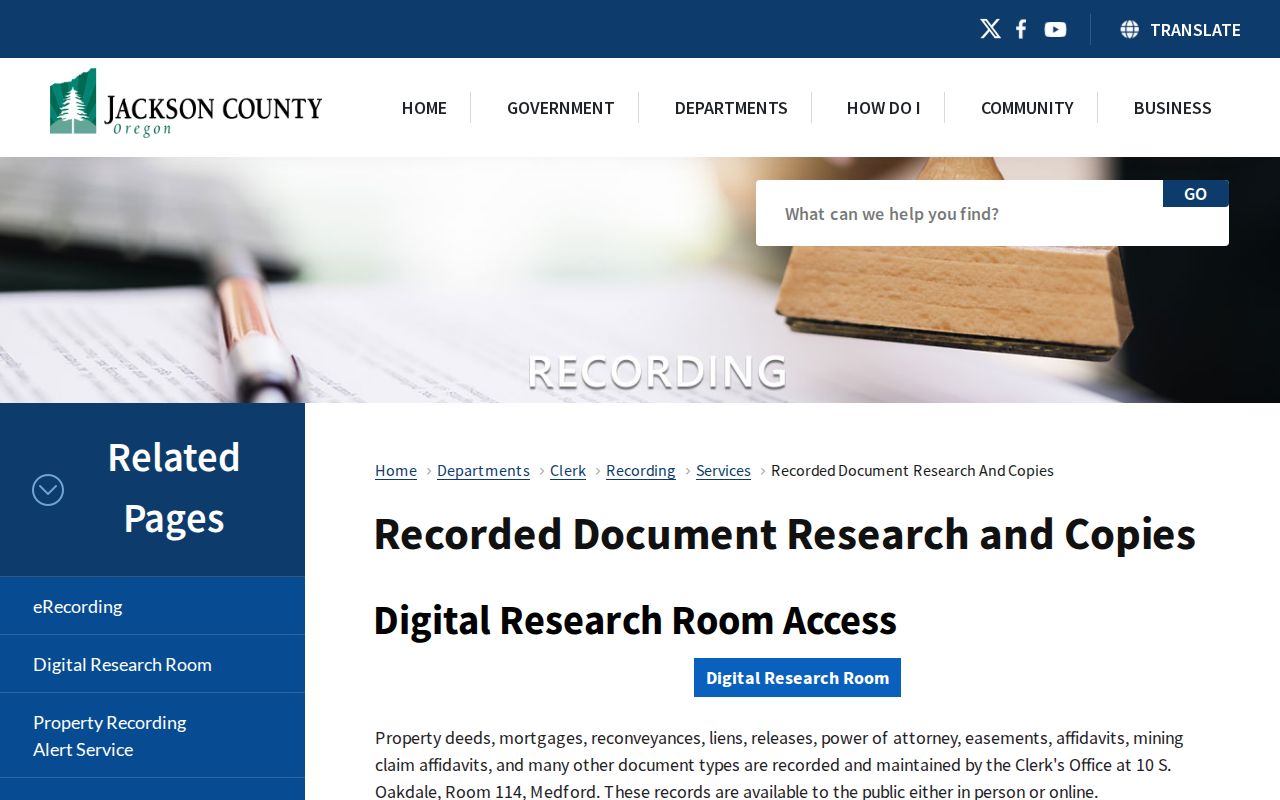
Begin with the latest reference, retrieve the deed, and compare its legal description with the next earlier transfer. DRR images carry a certification disclaimer, so use the Clerk when a certified copy is needed. The Clerk does not perform title searches; the researcher must keep the chain organized.
Jackson County Deed Card Tip
Insider tip. PDO’s sales or deed-card path can save time at the handoff to DRR. Capture the instrument number, volume/page, date, legal description, and map/taxlot while the parcel is open. That is stronger than repeatedly trying a street label in a recorder index that is organized around parties and recorded documents.
Coverage changes by era. PDO identifies deed records from 2002 forward. Official Records hold deeds from 1966 onward. When a chain reaches the limit of ordinary online name searching, the Clerk’s direct and indirect index volumes, deed-record microfilm, and counter path become the appropriate fallback. The older formats are part of the evidentiary trail, not a missing link to be filled with guesses.
Note: A watermarked online image may help identify a document, but the County says DRR images are not certified true, complete, and exact copies.
Jackson County Street Mailing Myth
Myth: a tax mailing address proves that an owner lives at the property. It does not. The situs is the physical parcel location. The tax system separately stores an owner or agent’s contact destination, which may be a post-office box, trust, business, agent, or another residence. A renter at the site may never appear in the property record.
Jackson County’s tax-notice address-change page documents the owner or agent distinction under ORS 311.555.
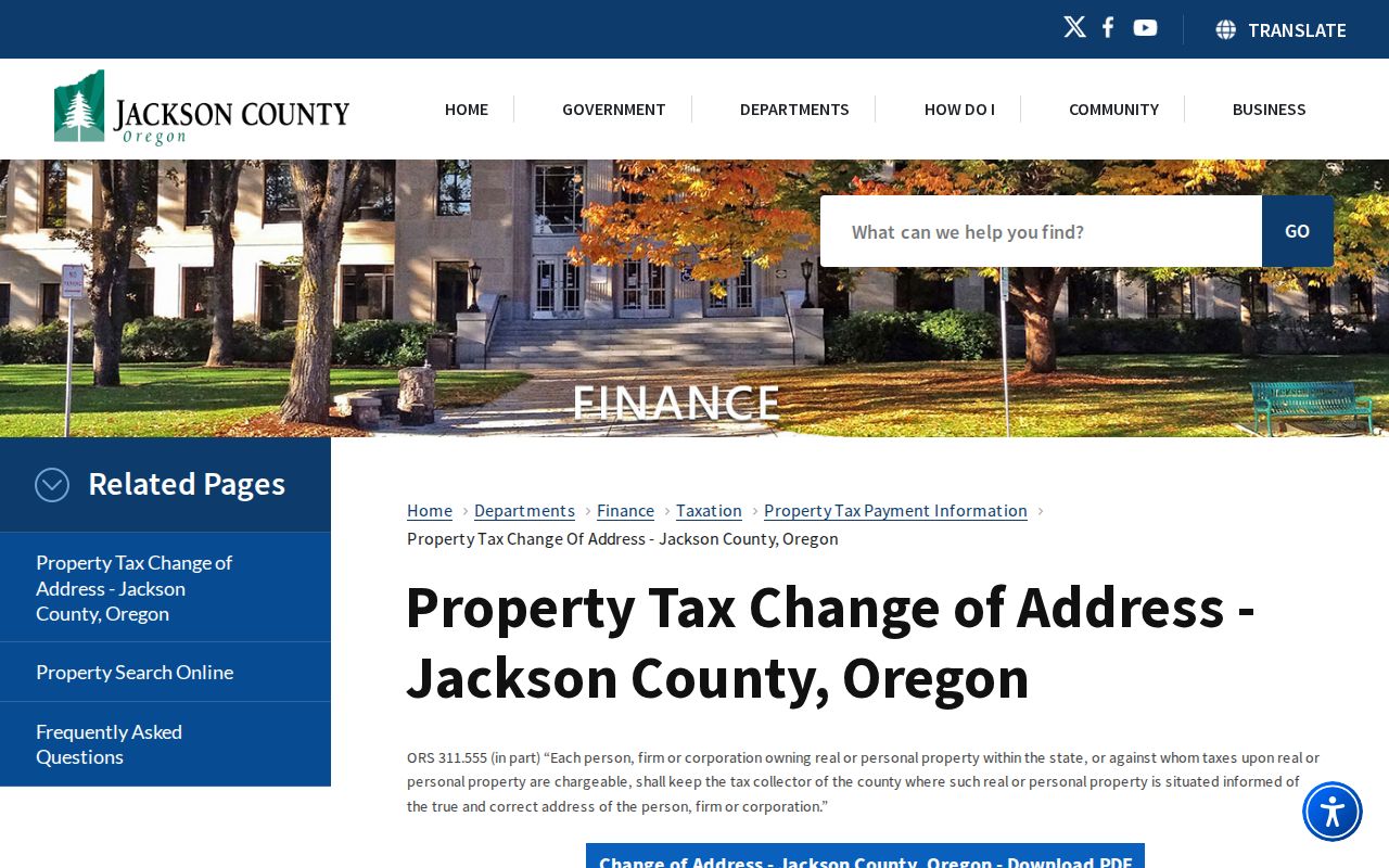
The form collects a site address and a new contact address from a legal owner or authorized representative. It corrects where tax notices go. It does not certify occupancy, erase ownership, or create a people list for a road.
Jackson County Street Record Terms
Address research becomes more reliable when the property terms stay separate. These four terms recur in County records and historical-address work.
- Parcel
- A tract represented in the assessment and GIS systems, commonly linked to an account and map/taxlot.
- Situs address
- The physical location of the parcel used by PDO and JIM. It is different from a tax-notice mailing field.
- Plat
- A recorded map that can define a subdivision, lot, block, partition, road, or other legal geography.
- Criss-cross directory
- An address-organized historical directory format. No precise Jackson County run was verified here, so it should not be represented as a current or complete local roster.
A legal description has its own role. It may be a subdivision with a lot and block, metes and bounds, a partition-plat reference, or another recorded description. Carry it through a deed search because a street number can change or represent only part of a larger tract.
Medford Street History in Records
Historic address work needs a local bridge only where one is documented. Medford’s historic materials identify early 7th Street as the present Main Street, and a Southern Oregon Historical Society collection reproduces 1908 reporting on older alphabet-letter streets changing to horticultural names. Search both forms when the record concerns Medford, then confirm the taxlot and legal description.
This is not a Countywide renumbering rule. Elsewhere in Jackson County, older sources may use Jacksonville, a rural delivery route, a Donation Land Claim, township/range, subdivision, or an old road designation. The County Address Points service also preserves Current, Pending, and Retired status plus legacy street components, which can help reconcile an older address form without confusing it with a resident record.
Historic Jackson County Address Clues
The Southern Oregon Historical Society Address Index is the verified historical-address fallback. It searches name and address fields with exact, contains, word, prefix, or suffix options and can be limited by city. Results identify title, address, city, and source. A result may lead to a property survey, an archival source, or a Donation Land Claim clue rather than a list of people at the address.
JCLS, RVGS, SOHS, and the State Archives hold different parts of the older trail. Sanborn material can place a building or block in a specific year. Directories and census material can add dated household clues. Keep those dates visible. They are useful for family history and property continuity, but do not establish a present resident.
Jackson County Street Directory Limits
Property records do not create a countywide occupancy list. My Vote is only a person’s self-service registration and status tool, not a browsable street roster. Oregon’s formal voter-file route has defined statutory fields and restrictions, while protected electors and Safe at Home participants have withheld address information. Full birth dates, identification numbers, signatures, and ballot choices are not public street-search data.
Utilities, delivery records, DMV residential information, private member lists, renters, and household composition are not a public address dataset. Official sources can be incomplete or dated, and an owner or mailing field must not be republished as proof of an occupant.
Lawful use. Use Jackson County address records for lawful personal, family-history, estate, civic, or property research. Oregon law addresses unlawful disclosure, stalking, and harassment; do not use a record to target, follow, threaten, shame, or repeatedly disturb anyone.